
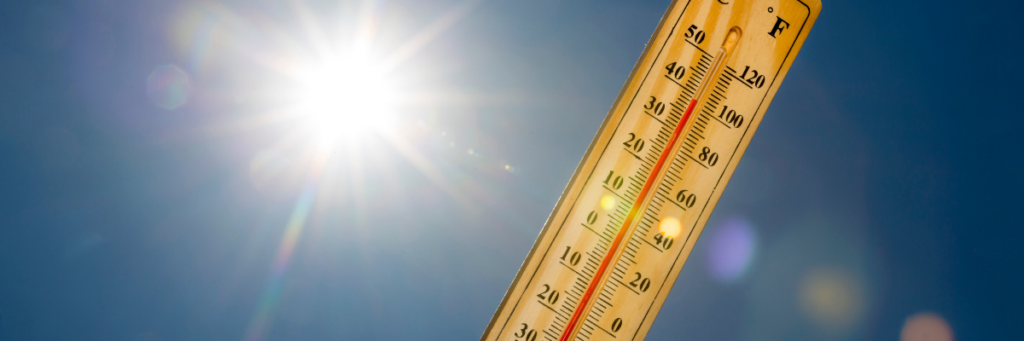
On June 29, 2026, at 8:30 AM, an urgent email flashed across the screens of everyone at Tennessee State University (TSU). The subject line: severe heat. The forecast predicted temperatures soaring between 95°F and 97°F, crushing humidity, and a heat index expected to skyrocket past 108°F.
It wasn't just Nashville. A patchwork of “Extreme Heat” Watches, Warnings, and Heat Advisories blanketed all 95 counties across Tennessee. As our climate continues to warm, these unpredictable, dangerous days are shifting from "anomalies" to our summer baseline. We are rapidly approaching a reality where working, studying, or even
enjoying a summer vacation becomes impossible without extreme precautions.
This is exactly why the work happening right now inside the GeoSMART Lab (Maia Payne, Caroline Apraku, Samentha Rice, led by Dr. Reginald Archer) at TSU is so critical and timely.
What is GeoSMART?
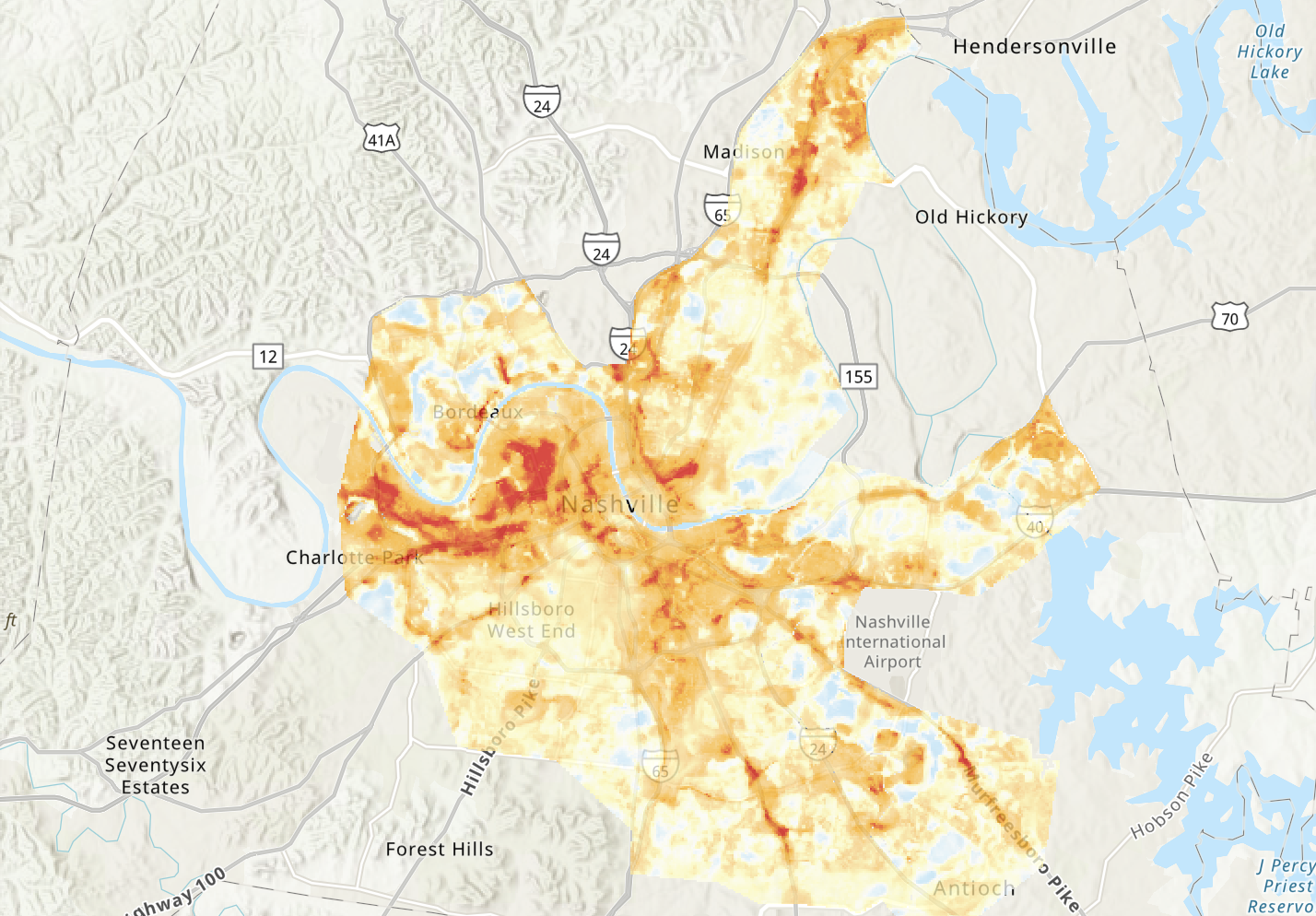
To a scientist, GeoSMART stands for GeoSpatial Sensing, Monitoring, Analysis, Research, and Teaching. But to the communities we live and work in, it means something much simpler: mapping the invisible forces that shape our lives.
In the Lab, we study the “science of where,” because location is fundamental to understanding many of the most pressing questions in society and the environment. Geospatial or Geographic Information Systems (GIS) are
essential because they operate on a foundational spatial truth that every phenomenon occurs within the context of a location or a space.
We look at the complex, invisible spiderwebs connecting heat, places, infrastructure, human behavior, and the living ecosystem. By layering seemingly unrelated datasets like soil moisture thresholds, concrete density, and public health metrics, we can tell the unique stories of these neighborhoods. More importantly, we can pinpoint exactly where cities need to deploy cooling resources, so vulnerable communities can be safer, more resilient, and finally feel heard.
Our "Whys": The Faces Behind the Data
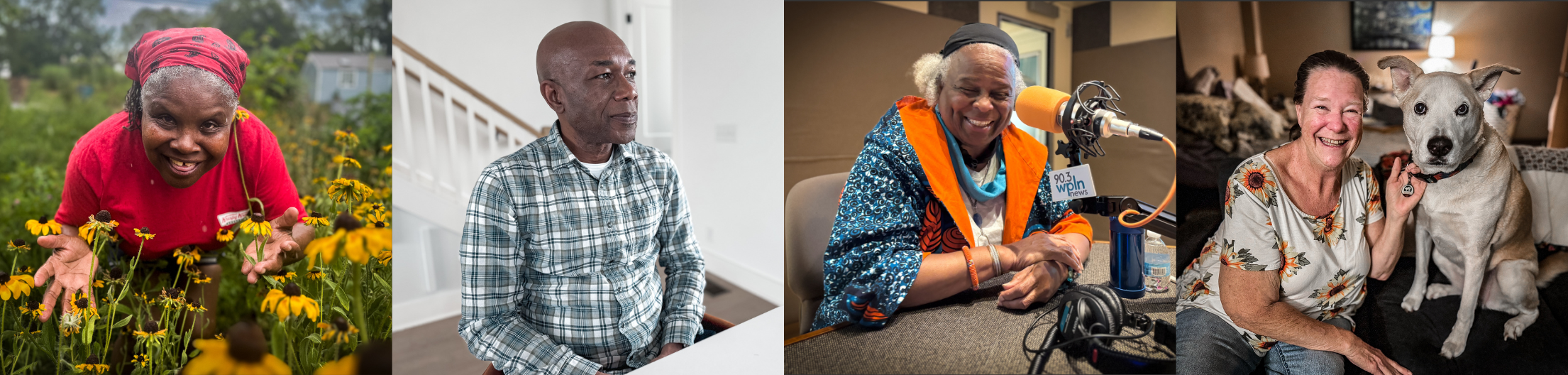
Data is never truly objective; it is collected by people who experience urban heat first-hand. We collect data outside, interpret satellite and drone data, explore spatial relationships, identify patterns, to help reveal patterns, trends, and connections that may not be apparent in traditional data alone, allowing us to ask not only what is happening, but where it is happening, why it is occurring there, and how our collection of voices and knowledge can guide more effective solutions. But we are not alone, everything that happens, happens somewhere, and our work helps to visualize the Voices of Resilience with place-based context, so individuals impacted by extreme conditions, can see how neighbors and others nearby may share similar stories and experiences.
More Than a Grid of Pixels
At the end of the day, our mission isn't just about the rigorous work we do taking core samples in the field, or the hours spent debugging codes and tools in the lab. It is about how we present and tell these stories through maps.
Maps are the ultimate storytelling canvas. They are lenses that give us the power to zoom out to see global climate patterns, and zoom back in to see a single, sweltering urban block. They turn cold, hard, data points into visual testimonies, showing us exactly where the shade ends, and the heat burden begins.

Dr. Archer heads up the GeoSMART lab at Tennessee State University. This blog was co-written along with his Environmental Science students Caroline Apraku (PhD Student), Maia Payne (PhD Student), and Samentha Rice (MS Student).